Thomas Thompson, Department of Wildland Resources, Utah State University
Dr. Karen Mock, Department of Wildland Resources, Utah State University
Dr. R. Douglas Ramsey, Department of Wildland Resources, Utah State University
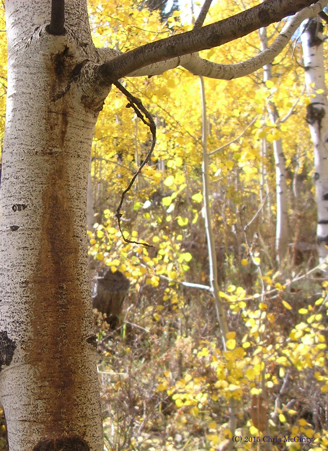
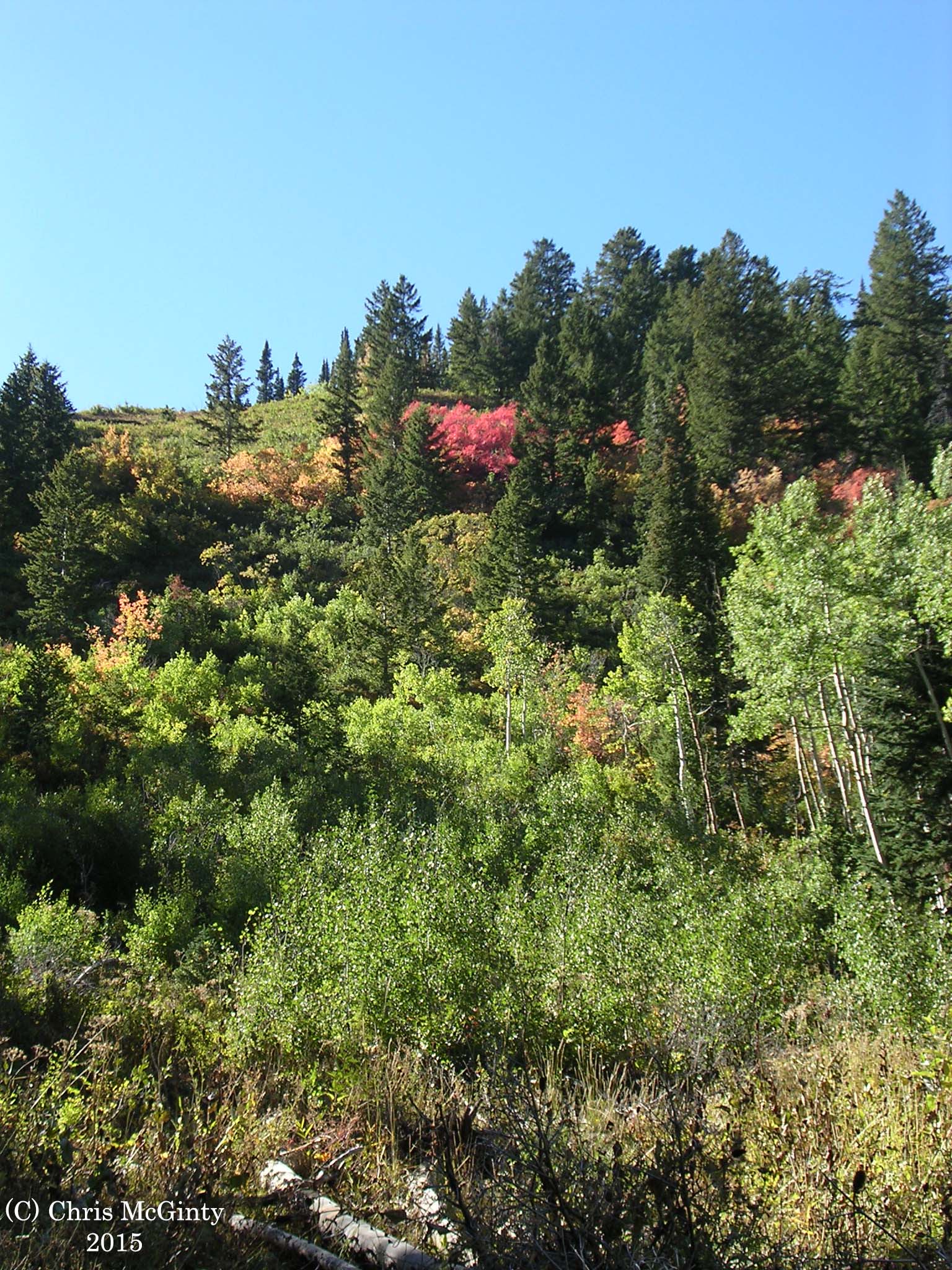
Quaking aspen (Populus tremuloides) is a key species in many western North American ecosystems. Aspen support a wide range of flora and fauna and have the potential to serve as natural fire breaks in large, otherwise coniferous-dominated forest ecosystems. Research has shown that declines in aspen over recent decades may be driven by changes in regional climate, fire suppression, increased pressure from wildlife and domestic browsing, and conifer encroachment.
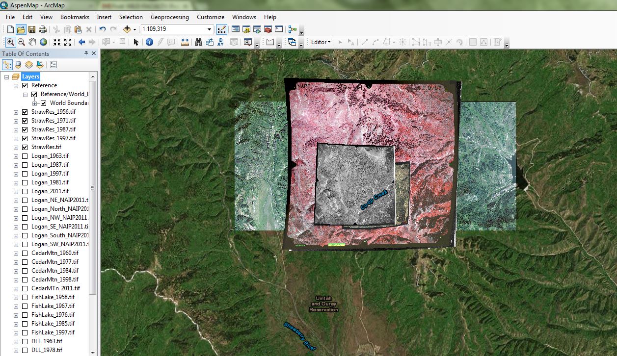
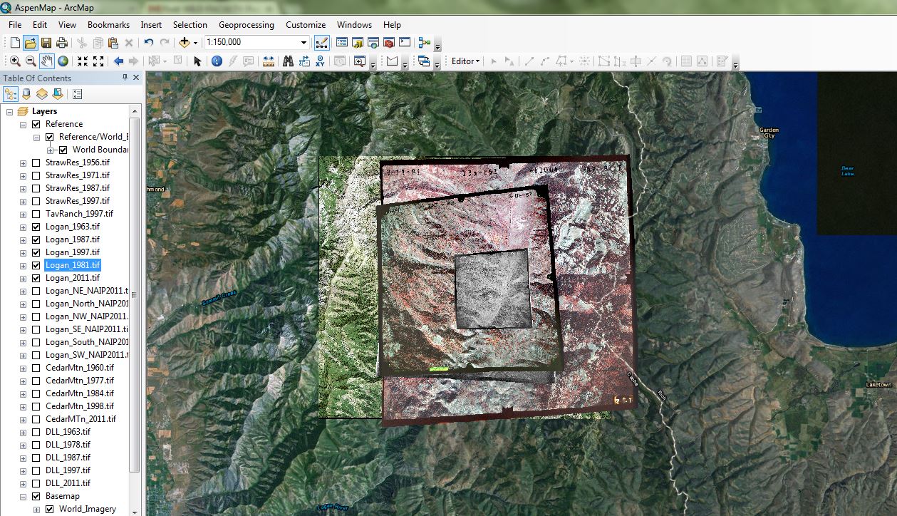
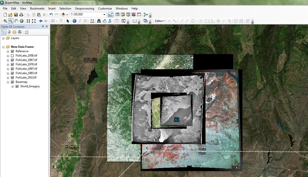
This study uses remote sensing and geographic information systems (GIS) analysis to determine successional pathways in aspen and conifer stands in 10 year increments ranging from the 1940s to present. The goal is to evaluate overall changes in aspen coverage over large spatial and temporal scales in Utah by conducting geospatial analysis of historic aerial photographs.
The projects is funded by the UtahView statewide consortium and has been provided data by Mr. David Davis of the U.S. Department of Agriculture Aerial Photography Field Office in Salt Lake City, Utah.
For more information, please contact Chris McGinty at mcginty.chris@gmail.com


![]()